UN
10 Kingswood
£ 175,000
Description
We don't have a Description for this property.
- Bedrooms
- 3
- Bathrooms
- 0
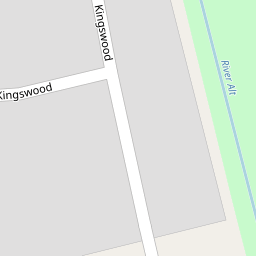
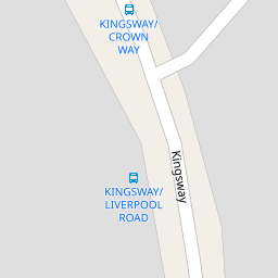

Leaflet © OpenStreetMap contributors
The heatmap indicates the level of crime in the area. The color of the heatmap indicates the crime severity and recency.
Metrics Year-on-Year
- Average area value
- 251,238.00 £Increased by 46.81 %
- Average area rental value
- 1,303.00 £/moIncreased by 8.58 %
- Est rental Yield
- 6.22 %Decreased by 26.04 %
- Crime Rate
- 4.00 %Unchanged by 0.00 %
from 171,130.00 £
from 1,200.00 £/mo
from 8.41 %
from 4.00 %
Nearby Schools
| Name | Type | Ofsted | Distance |
|---|---|---|---|
| Jubilee Sscc | Children's Centre | 0.51 KM | |
| Huyton With Roby Church Of England Primary School | Academy Converter | 0.51 KM | |
| St Aloysius Catholic Primary School | Voluntary Aided School | Good | 0.63 KM |
| Park View Academy | Academy Converter | Good | 0.87 KM |
| Blacklow Brow School | Academy Sponsor Led | 1.16 KM |
Images
Nearby Streets
| Name | Average Price | Average Sqft | Distance |
|---|---|---|---|
| Alt Bridge Road | £ 99,500 | 0 | 0.00 KM |
| North Atlantic Close | £ 0 | 0 | 0.00 KM |
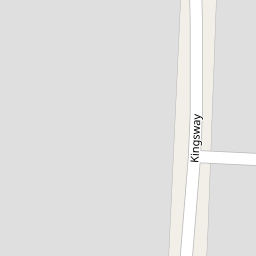
| Kingsway | £ 195,000 | 0 | 0.00 KM |
| Alt Road | £ 0 | 0 | 0.00 KM |
| Ellison Grove | £ 117,143 | 0 | 0.00 KM |
Nearby Transport
| Name | NLC | TLC | Distance |
|---|---|---|---|
| Huyton | 2160 | HUY | 0.94 KM |
| Roby | 2261 | ROB | 1.20 KM |
| Broad Green | 2240 | BGE | 5.21 KM |
| Prescot | 2337 | PSC | 5.39 KM |
| Whiston | 2161 | WHN | 5.66 KM |
Nearby Listings
| Address | Price | Type | Score | Distance |
|---|---|---|---|---|
| Queensbury Grove, Huyton, L36 | £ 210,000 | BUY | 6 / 10 | 0.11 KM |
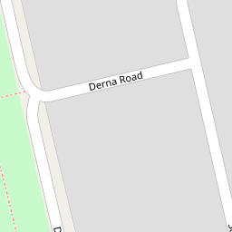
| Derna Road, Huyton, Liverpool | £ 160,000 | BUY | 7 / 10 | 0.12 KM |
| Liverpool, Merseyside, L36 | £ 100,000 | BUY | Unknown | 0.17 KM |
| Coral Avenue, Huyton, Liverpool | £ 150,000 | BUY | Unknown | 0.21 KM |
| Pine Close, Huyton, Liverpool | £ 130,000 | BUY | 5 / 10 | 0.21 KM |
Nearby Properties
| Address | Price | Distance |
|---|---|---|
| 6 Kingswood | £ 116,000 | 0.00 KM |
| 30 Kingswood | £ 139,950 | 0.00 KM |
| 10 Kingswood | £ 175,000 | 0.00 KM |
| 1 Kingswood | £ 173,000 | 0.00 KM |
| 21 Kingswood | £ 125,000 | 0.00 KM |